California - San Diego, Clairemont
- gaby
- Apr 5, 2020
- 1 min read
Updated: Apr 19, 2020
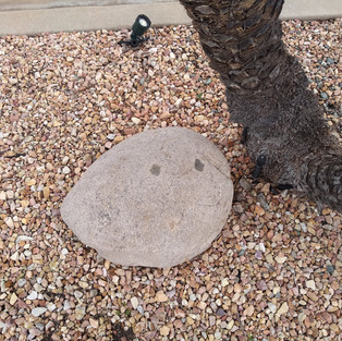
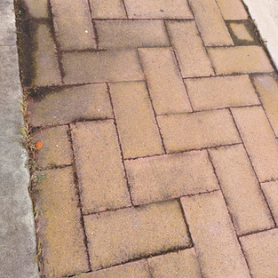
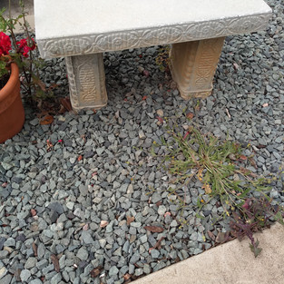
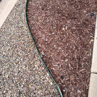
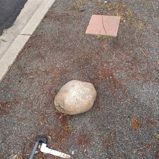
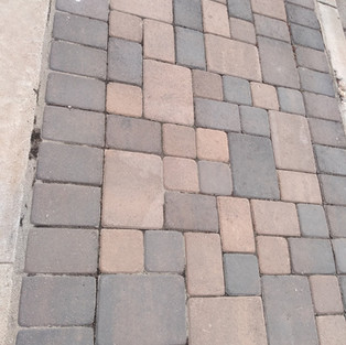
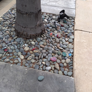
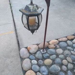
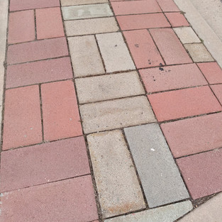
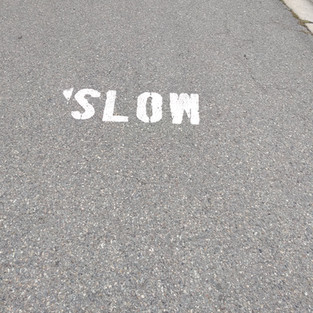
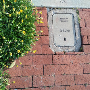
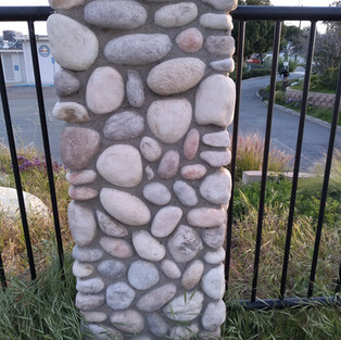
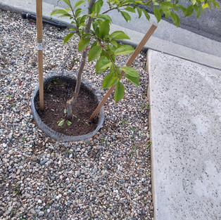
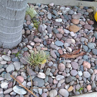
Walk around Clairemont and see if you can find all the posted images
Below are photos broken up by streets. Most of the photos are from the part of the sidewalk closest to the street to give neighbors some privacy. If you see an image that looks similar to another house / street, look at the details - is there a sign or post in the photo? Is it show the next property line (rocks then grass next within a single photo)?
Mt. Hay (between Mt. Herbert and Mt. Foraker)
Mt. Harris (between Mt. Herbert and Mt. Foraker)


Mt. Gaywas (between Mt. Herbert and Mt. Foraker)


Mt. Foraker (between Genesse and Mt. La Platta Dr.)


Mt. Longs


Mt. La Palma Dr.


Mt. La Platta Ct.


Mt. La Platta Dr.


Mt. La Platta Pl.


Mt. Frissell Dr. (Between Mt. Herbert and Mt. Foraker)


Mt. Etna (Between Mt. Herbert and Mt. Foraker)


Mt. Elbrus (Between Mt. Foraker and Mt. Elbrus Ct.)


Comments